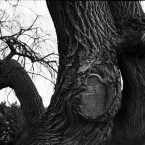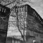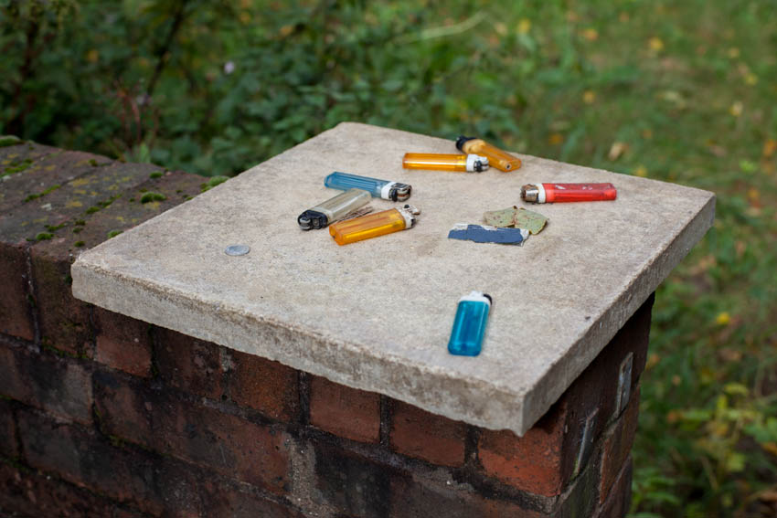
I have been updating my website over the last month and in particular, have added two new projects. Both of which are long term collections and relate to urban London.
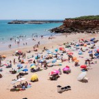
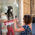
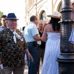
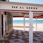
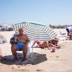
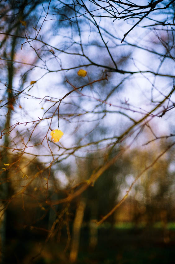
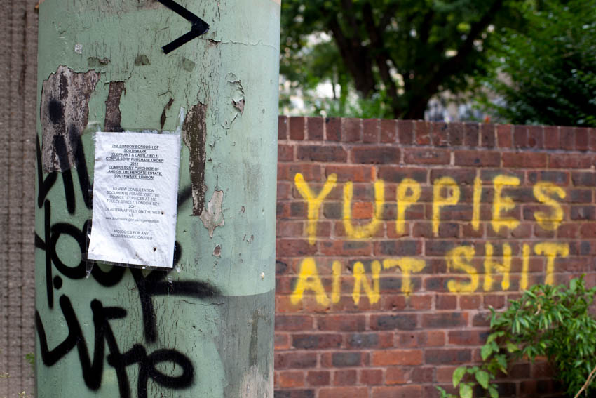
The first is 51° 30′ N / 0° 7′ W, which is the longitude, latitude reference point at Charing Cross. Distances to and from the centre of London are usually measured from here. It is a selection of images and observations made on walks around the city. The current uploads are fairly recent, but this is an ongoing process, as I have film dating back to 1979, my first year as a student.
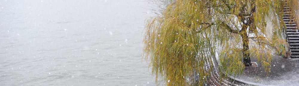
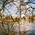
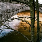
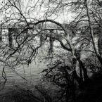
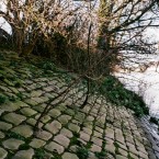
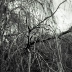
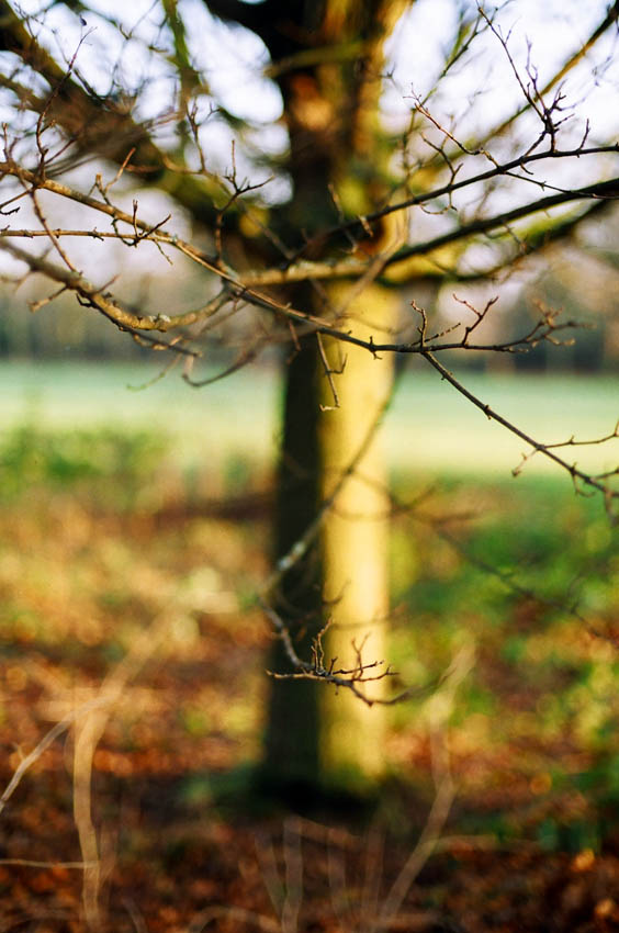
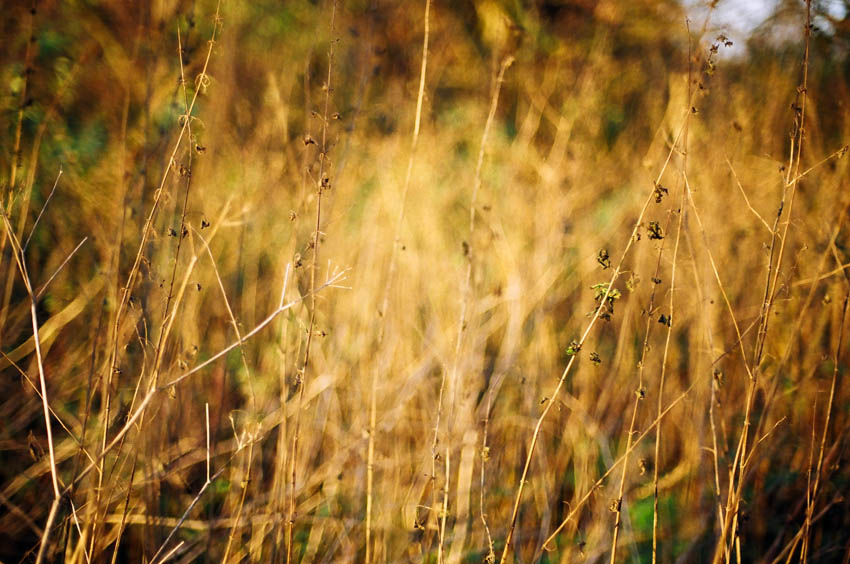
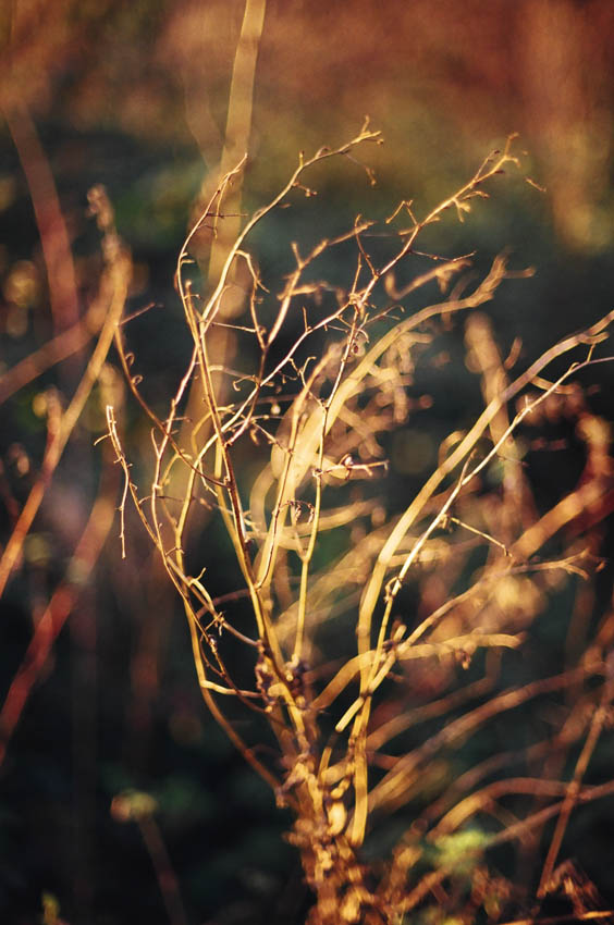
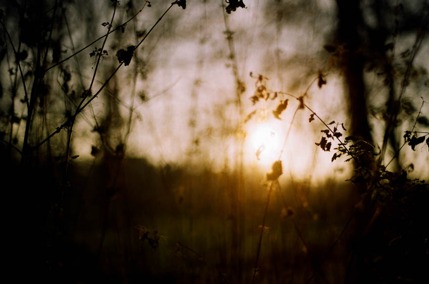
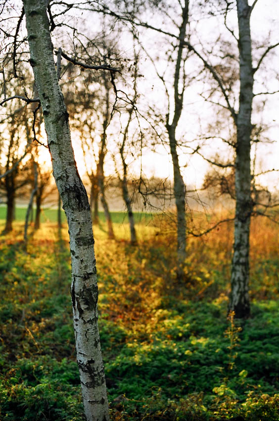
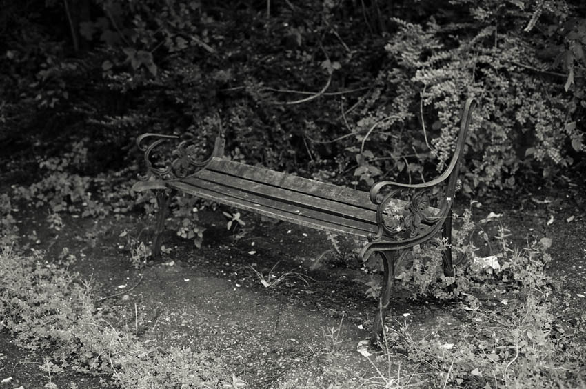
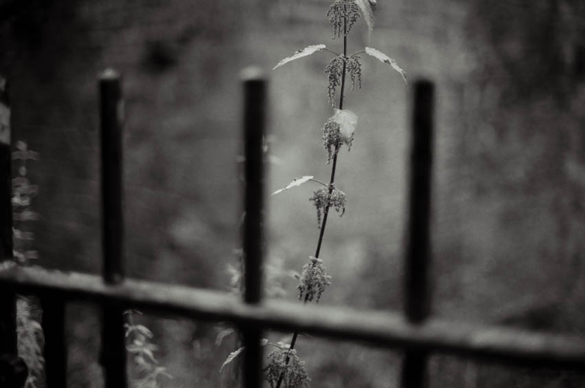
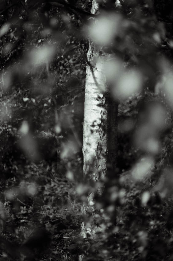
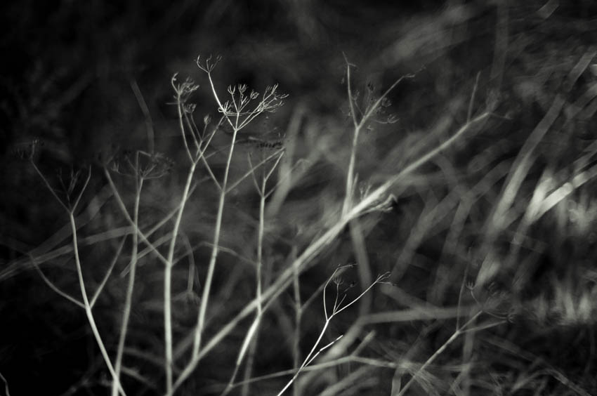
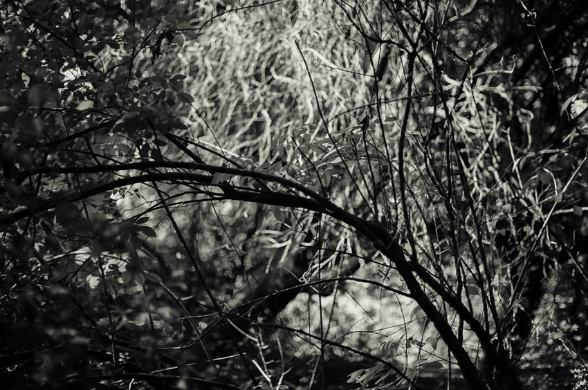
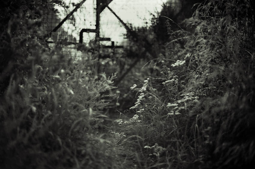
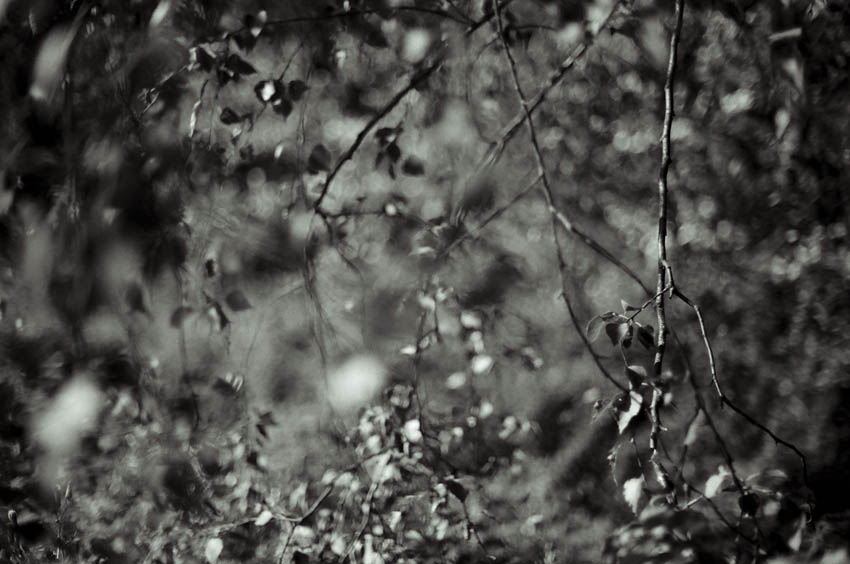
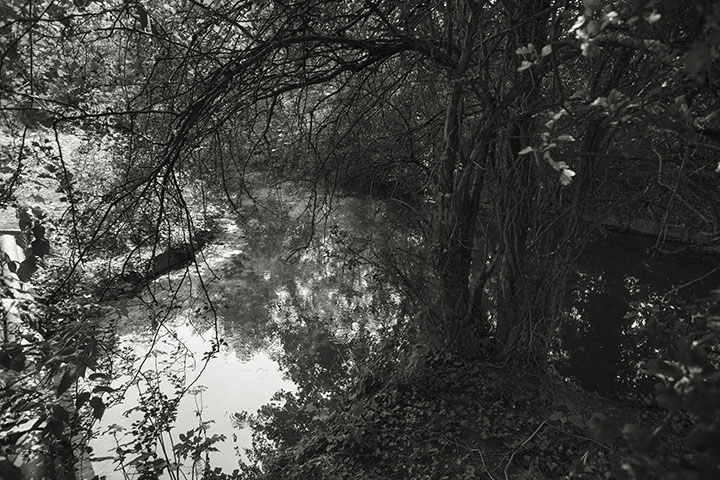
The second addition is ‘Confluence’. This is a photographic essay of the River Brent and the surrounding environment. Also ongoing, images will be added as I make further walks this year.
Some accompanying notes:
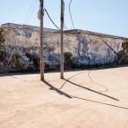
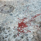
The name ‘Brent’ is apparently derived from Celtic and Old English, meaning ‘sacred waters’, which is rather sad given the river running through areas of West London has long been regarded, by many, as an inconvenience and just in the way. It has been channelled around Brent Cross shopping centre, straightened and contained by the North Circular Road, built over and diverted through a tunnel near Wembley Stadium and generally used as a tip or dump for anything from cars to chemical waste. And it’s only 16 miles long.
The name reflects the Celts’ belief that all rivers (and wells) were sacred. A belief which saw them throw valued items such as swords or shields into them as tributes to spirits. This practice has long disappeared in West London, unless you venerate the humble shopping trolley.
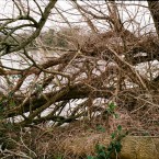
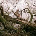
My interest in the Brent started with urban walks along the Grand Union Canal at Brentford, which itself is now part of the river. Some stretches, like this one, are green corridors which are so important for wildlife in cities. Other parts are included in The Dollis Valley Greenwalk, from Barnet to Brent Cross and which connects with the London Loop walk. Over the years some money has been available for work on London’s waterways and much has been done by volunteers, particularly on the canal networks, but a lot more needs to be done.
Although I started taking an interest from an environmental point of view, it dawned on me last summer, as I was photographing along it’s banks, that I have always lived or been near The Brent. As a child I used to fish (illegally) in the pond at Moat Mount, which is apparently the river’s source. My secondary school was next to Silkstream, a tributary. My first choice football team, Edgware Town, was also sited close enough to require balls to be fished out of it’s water. My first car was stolen and dumped by the river behind the football ground and a few years later I was married in St Mary’s Church, Hanwell, which is on a hill overlooking the Brent Valley and the Wharncliffe Viaduct. More recently, The Port of London Authority even pulled me out of the Thames after capsizing a boat near to where the two rivers meet at Brentford. All coincidence I suppose, but there is an affinity.